IHCantabria leads a study exploring climate variability of extreme coastal sea levels

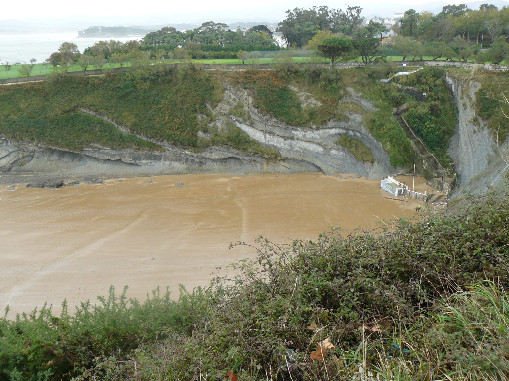
Extreme sea level event at Mataleñas beach, located in Santander, Cantabria.
Their results contribute significantly to the understanding of extreme coastal sea level events and underline the potential of satellite altimetry data for the development of climate studies.
A groundbreaking study, led by researchers from the Institute of Environmental Hydraulics of the University of Cantabria(IHCantabria), has revealed new findings on the climatic variability of extreme sea level extremes at the coast on a global scale. For its development, satellite altimetry data of almost three decades, obtained from various satellite missions, were used to evaluate the climatic variability of extreme coastal sea level events.
The results of this study are described in a scientific paper recently published in Remote Sensing, an international peer-reviewed, open access journal, addressing scientific issues and the application of remote sensing technology. The article is entitled: “Variability assessment of global extreme coastal sea levels using altimetry data“.
The authors of this article are researchers Héctor Lobeto Alonso and Melisa Menéndez García, both members of the Marine Climate and Climate Change group at IHCantabria. In their article, the authors explain that in order to carry out the study, a global database of meteorological sea level residuals was generated from altimetry data. Using a statistical model of non-stationary extremes, the research captures seasonal, interannual and long-term variations in sea level return levels, thus providing a comprehensive understanding of the variability of extreme events.
Among the key findings of the study, the complexity of monthly variability patterns in tropical versus extratropical latitudes is highlighted. “For example, tropical latitudes often exhibit multiple storm periods, whereas extratropical coasts are predominantly governed by a winter-summer pattern,” the authors explain.
Lobeto and Menéndez’s research highlighted the significant impact that certain established climate circulation patterns have on extreme sea level events. “Different phases of climate patterns, such as the Arctic Oscillation and the El Niño phenomenon, are associated with substantial variations in monthly sea level return levels,” the authors note.
Likewise, the study developed by these two IHCantabria researchers revealed an increasing trend in meteorological residue return levels in most of the global coasts.
The results presented in this study highlight the potential value of altimetry data in climate studies, particularly those focusing on extreme sea levels. Altimetry data has been shown to have very good accuracy in terms of capturing climate variability of extreme events, providing a very useful database for exploring the behavior of extremes at different temporal and spatial scales.
The full content of the scientific article published in Remote Sensing can be accessed through the following link: https://doi.org/10.3390/rs16081355


