laboratory of information technology and supercomputing
At IHCantabria’s laboratory of information technology and supercomputing (IH-IT Lab) we are committed to develop technological solutions, with a solid scientific background, to stand up to the current challenges that society faces today in terms of sustainability.
We make digital representations of the real-world phenomena, with special interest in the aquatic environment, making use of the latest technologies in geographic information sciences (GIS); spatial data management, software development, numerical processing, system administration and data visualization, among others.
Decision Support Systems (DSS)
We focus on all the aspects related with the aquatic environment, under a user-centered-design and a user-driven development, to translate data into valuable knowledge.
Geographic Information Systems (GIS)
The IH-IT Lab undertakes spatial analysis and geographic data management with the latest geospatial technologies (GIS, databases, visualization, etc.). In addition, the IH-IT Lab carries out software development of geospatial solutions (Web, Desktop and mobile).
Supercomputing
Supercomputing provides the computing power needed to carry out unimaginable analyzes for a Personal Computer (PC): from the simulations required to design ports or marine structures, to the analysis of tsunamis or tropical cyclones.
At IHCantabria’s laboratory of information technology and supercomputing (IH-IT Lab) we are committed to develop technological solutions, with a solid scientific background, to stand up to the current challenges that society faces today in terms of sustainability.
We make digital representations of the real-world phenomena, with special interest in the aquatic environment, making use of the latest technologies in geographic information sciences (GIS); spatial data management, software development, numerical processing, system administration and data visualization, among others.
INFRASTRUCTURE
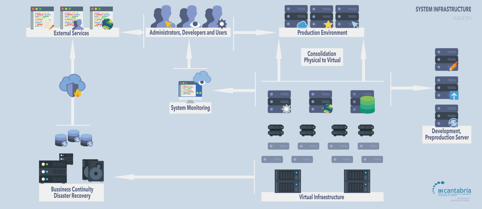
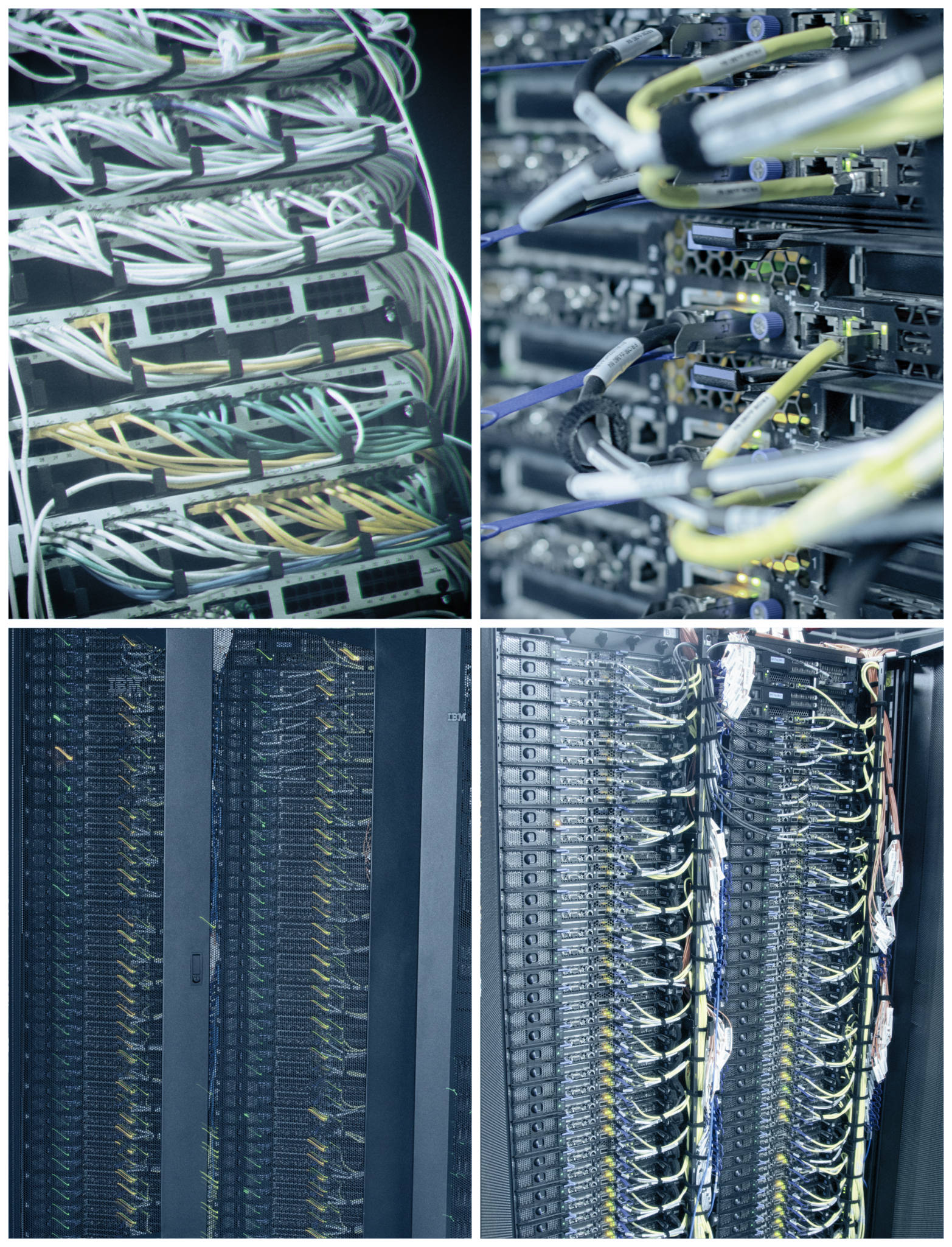
The IH-IT Lab is in charge of two data processing centers. These facilities have the required infrastructure to host environmental services (e.g. operational services, environmental management services). Under a virtualized infrastructure, the data processing centers provide a 24×7 service with a service level agreement (SLA) and recovery time objective (RTO) according with the services provided. The ability to find out what is happening on the systems at any given time is crucial to provide a high quality service. In this sense, the IH-IT Lab infrastructure holds a monitoring system based on Nagios, which offers monitoring and alerting services for servers, models, applications and services.


Spatial information is key for any study or research. The IH-IT Lab storage data server provides a centralised high capacity storage space, designed to host all the data comprised by metocan and hydrological databases.
Available disk space is enough to accommodate more than 2000 years of global maritime climate data, with present day levels of accuracy, including high resolution in coastal zones (more than 100 TB). In addition, the storage data server can easily scale in order to store the growing volume of new available data.
The IH-IT Lab infrastructure has been designed to host standardized data and interoperability services based on open geospatial consortium standards (WMS, WFS, WPS), ensuring a robust and reliable infrastructure for the maintenance and development of innovative environmental solutions based on scientific knowledge.
TEAM


