Plan Bahía analyzes the challenge of flooding in Santander, Camargo, El Astillero and Ribamontán al Mar
Municipal representatives and experts analyze the causes and possible solutions and stress the importance of improving drainage and sanitation infrastructure and implementing comprehensive and sustainable measures.
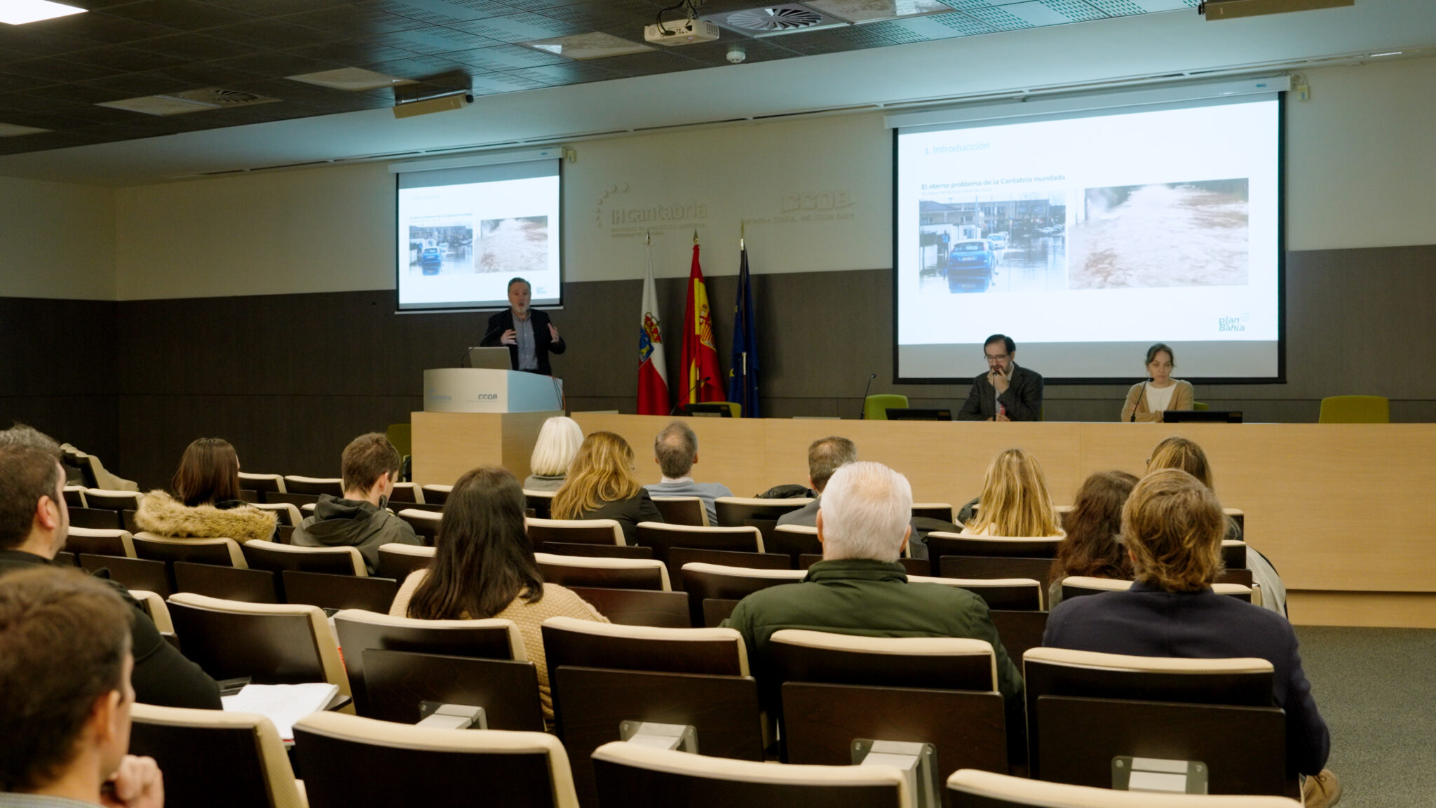
Plan Bahía has held a working group on flooding in the Santander Bay Arch to analyze the main challenges faced by the competent authorities. The meeting was attended by institutional representatives and experts in the field and provided a comprehensive overview of the situation.
Challenges center on the vulnerability of certain low-lying areas due to topography and the accumulation of white water or runoff and the overloading of the drainage and sanitation system, mainly due to this water flowing superficially because of rainfall. Sea level rise will increase the problem by making drainage to the sea more difficult.
Floods in the Bay Arch have their roots in the human actions and the occupation of the territory (urbanization of the basin), which has caused, among other factors, the impermeabilization of the soil in different areas, a factor that increases surface water flow (runoff) and the risk of flooding.
Various solutions have been proposed at the workshop, ranging from improvements in drainage and sanitation infrastructure to the implementation of nature-based measures, such as the creation of urban forests to reduce runoff or the restoration of wetlands.
Improving administrative agility and inter-agency collaborationexplore new avenues of municipal financing and promoting long-term planningThe proposed measures, with a holistic approach that considers both flood management and water quality, are other measures proposed to provide a comprehensive response to the problems caused by flooding.
Challenges in Santander, Camargo and El Astillero
The Santander City Council has identified eight areas susceptible to flooding in low-lying areas of the city: the Polígono Elegarcu; Barrio Santiago El Mayor; Calle Calvo Sotelo and Plaza del Ayuntamiento; Barrio Corbanera; Plaza de Italia; Zona de Mesones and Avenida. of Pontejos; Avenida del Faro; and Polígono de Candina.
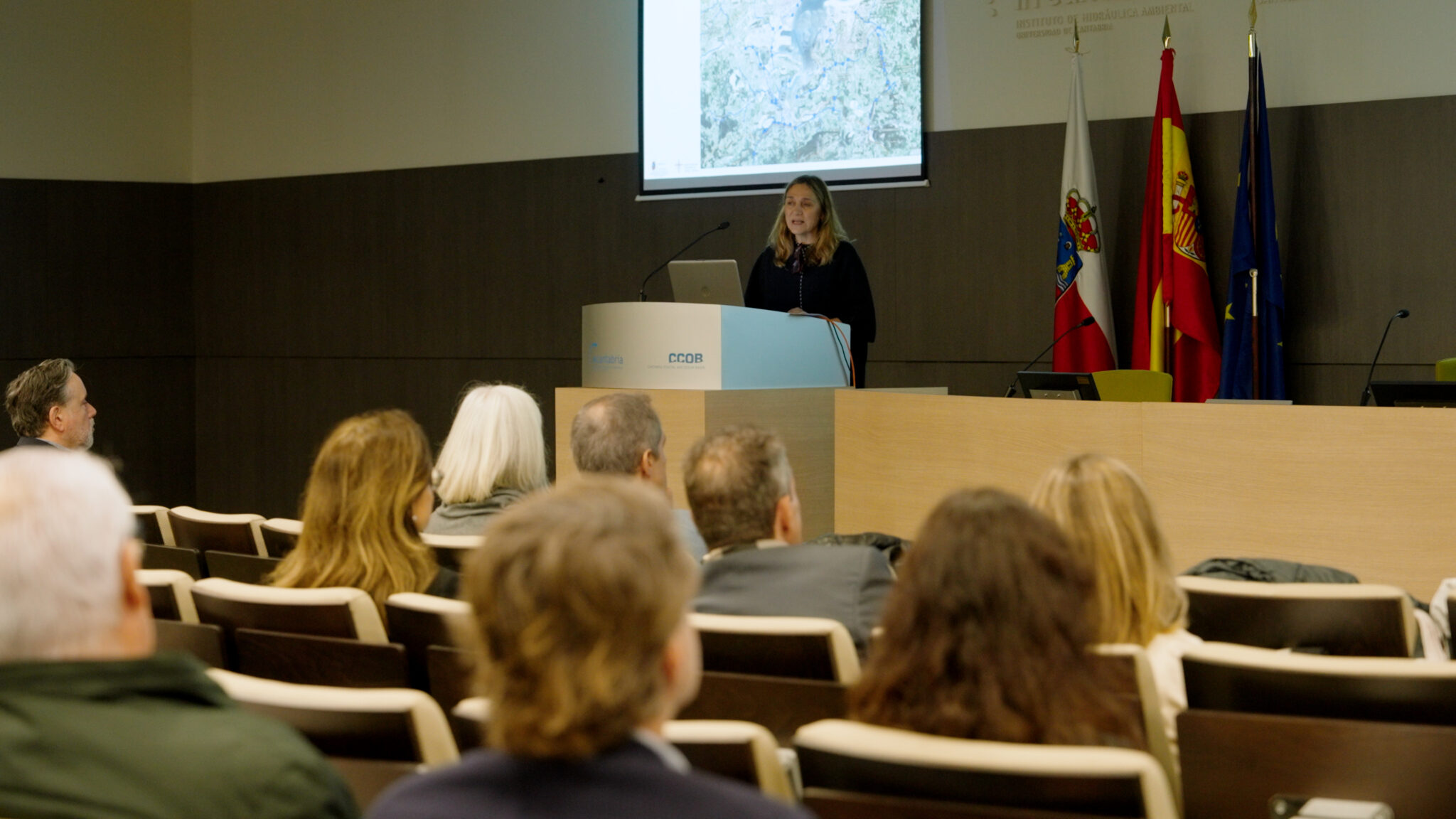
The Councilor for the Environment and Technical Services, Margarita RojoHe explained that the flooding is due to drainage problems and inadequacies in the sewage network and assured that the Consistory is developing strategies to address the problems and reduce the risks, such as the construction of new infrastructures (in Candina and in the Corbanera neighborhood) or the implementation of nature-based solutions within the ‘Santander Natural Capital’ project. (creation of a forest on Doctor Diego Madrazo Avenue).
In the case of the Camargo City Council, those responsible have identified flood-prone areas in all the municipality’s centers: Raos and Marismas de Alday; Barrio de La Llastra, in Escobedo; Barrio and industrial area of El Carmen; Barrio Ladredo, in Camargo; the area of the high schools located in Muriedas; and Igollo.
The Environment technician, Almudena Leal, has pointed out as risk factors the extensive hydrological network, the elimination of riparian vegetation, the channelization of watercourses and the overloading of the system. In the municipality, infrastructure improvements are being carried out -such as a greater number of collectors- and collaborations with the Hydrographic Confederation for the maintenance of watercourses.
The City Council of El Astillero has identified four hot spots in its territory: the marshes, Campoamor Street, the promenade next to the Mercadona supermarket and Chiclana Avenue. Flooding problems are mainly due to heavy rainfall events and the overflowing of the Solía estuary, which poses challenges in terms of safety and urban mobility.
The Councilor for the Environment, Emilia Moncada, has indicated that minor works have been carried out in the municipality, such as the installation of drainage pumps and new scuppers to prevent the accumulation of rainwater.
Ribamontán al Mar, Marina de Cudeyo and Medio Cudeyo
The City Council of Ribamontán al Mar has identified three areas where overflows occur in streams and rivers. Somo, due to its flat topography and overflows in the old Suesa treatment plant; in the area near the Loredo stream; and in Galizano, with two critical points: Herrero river and the quarries.
The second deputy mayor, Jenaro Gutiérrez, explained that solutions such as the installation of clapetas and cleaning of riverbeds are being implemented.
On the other hand, the Municipality of Marina de Cudeyo has assured that it is not experiencing flooding problems and that of Medio Cudeyo has not detected any significant incidents, but has acknowledged that it is facing challenges related to access to watercourses.
Integral vision
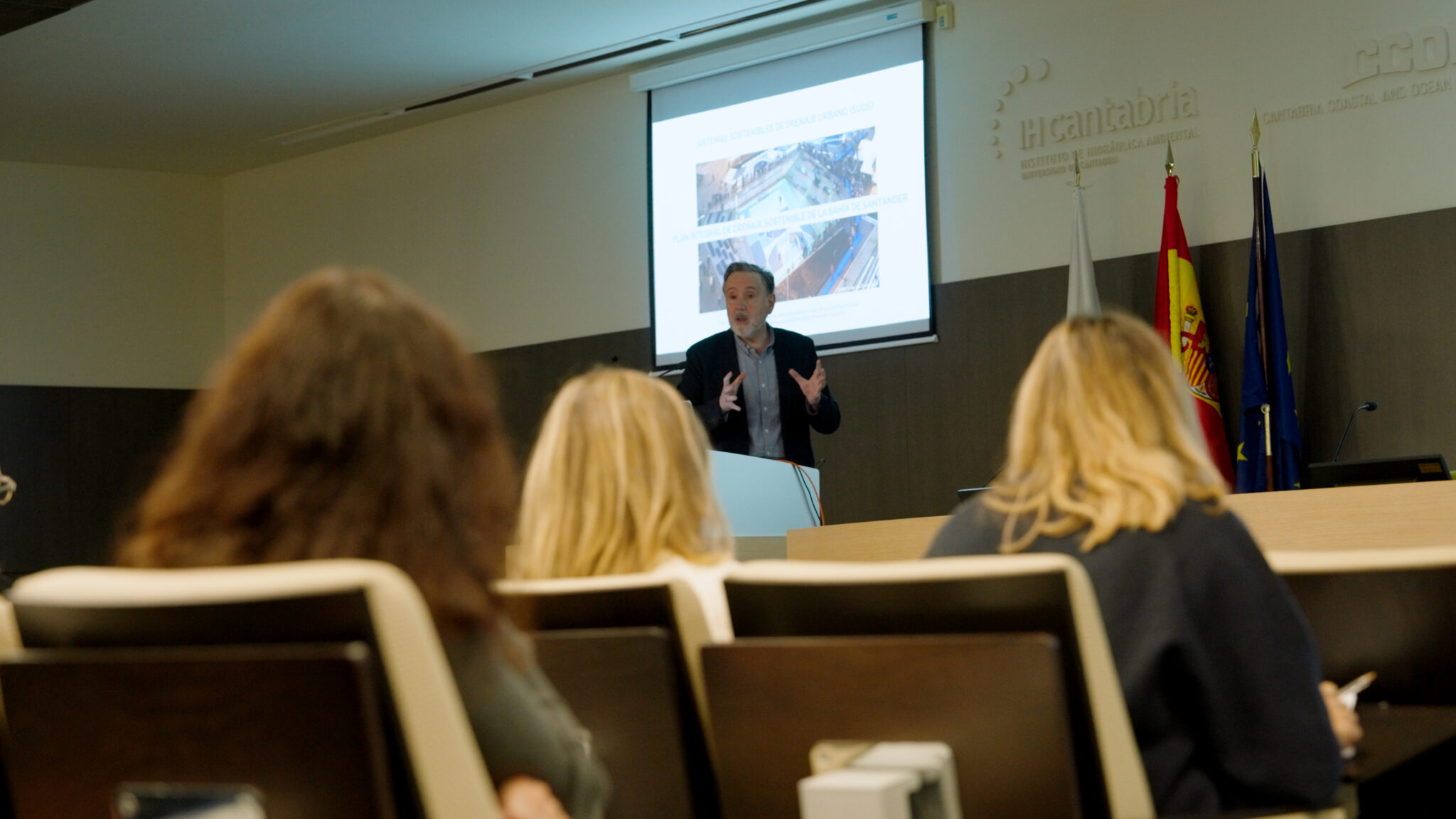
César Álvarez, head of the Hydraulic Engineering Group of IHCantabria, presented a comprehensive view of the problem. He stressed that the main cause lies in human activities and urbanization of the watershed, which has expanded flood-prone areas and increased water runoff due to soil impermeabilization.
Álvarez defended that effective management requires proper management of the sanitation and drainage system, and stressed the need to adapt to new national and European legislation, which promotes nature-based solutions and self-sufficient systems. He also emphasized the need for a sustainable drainage plan in the Bay with an overall short-term vision.
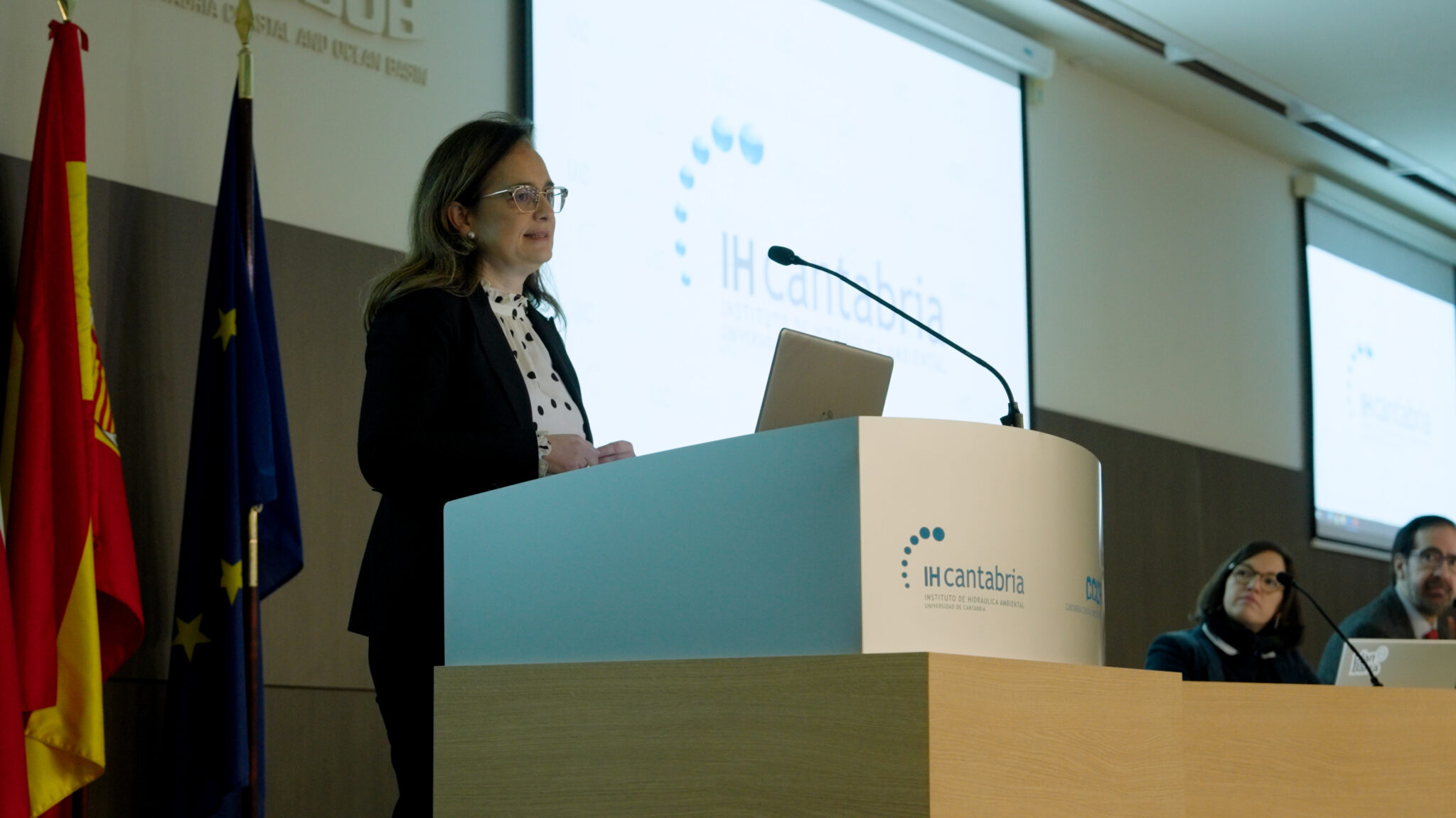
The Director General of Water and Ports of the Government of Cantabria, María Tejerina, presented ‘The planning of drainage and sanitation in the Arch of the Bay of Santander’. During his presentation, he focused on a review of the state of the sanitation infrastructure, especially in the northern area, where the greatest needs are identified .
He detailed the two problem areas related to flooding: the large amount of rainwater entering the sanitation system, which compromises its capacity, and the existence of areas where water transfer requires up to four pumping operations before reaching the San Roman treatment plant.
Solutions for integrated management
The conclusions reached at the Flood Working Table, together with those obtained in other working sessions, will be a key element in the development of the floods. essential component for the preparation of the Integrated Diagnosis of the Bay of Santander. This assessment, which will also include in-depth technical analyses, will be the cornerstone for developing the proposal of solutions that address the challenges identified in the conservation and sustainable management of the estuary.
Plan Bahía’ is a research project coordinated by the Institute of Environmental Hydraulics of the University of Cantabria(IHCantabria) and funded by the Ministry of Science and Innovation and the Government of Cantabria through the Marine Sciences Program. Its objective is to draw up the Integrated Management Plan for the Bay of Santander, which will establish the collaboration mechanisms and the measures to be implemented so that the institutions that make up the Bay Committee can address the future actions to be developed within the framework of an Integrated Plan for the Management of the Bay.
This study is part of the
ThinkInAzul
program, financed by the Ministry of Science and Innovation with funds from the European Union NextGenerationEU (PRTR-C17.I1) and by the Autonomous Community of Cantabria.


