IHCantabria makes progress in land use monitoring in coastal areas

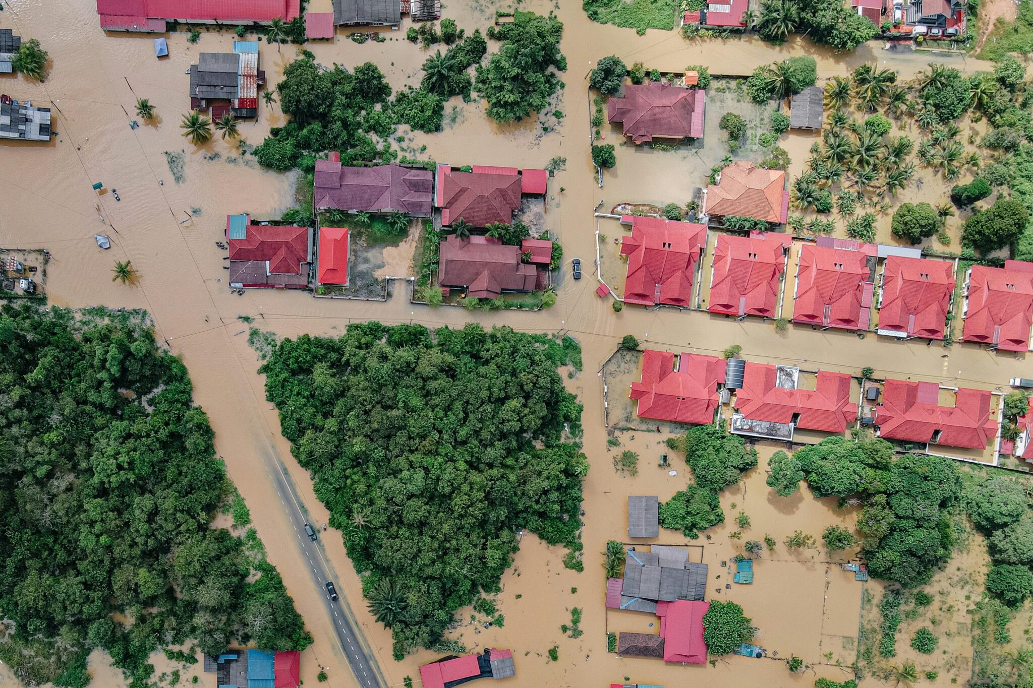
Flood event over a coastal zone that alternates various land covers including urbanized areas and forest.
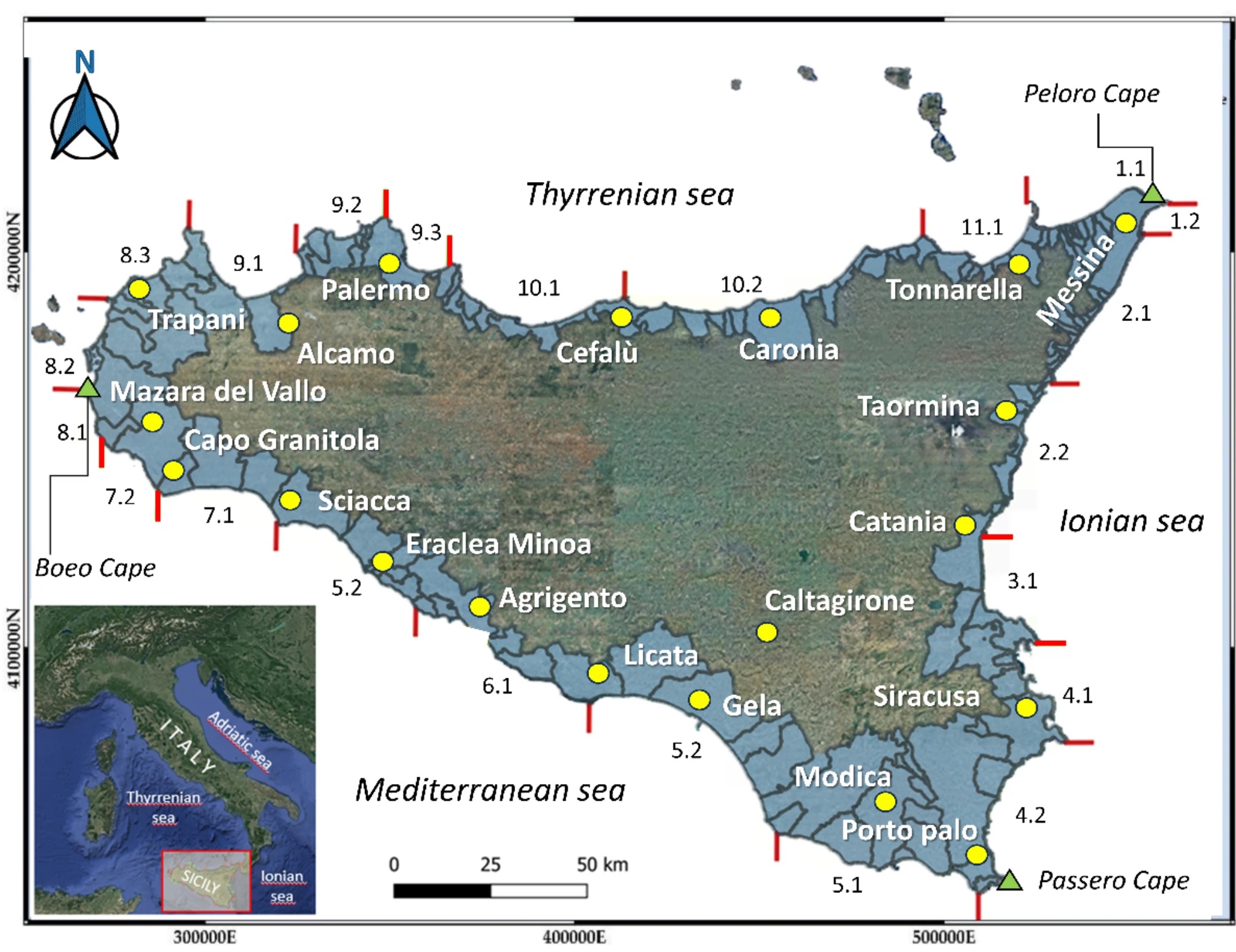
For the first time, land use was mapped in coastal areas of Sicily. The results are a first step towards understanding how socioeconomic development influences land use dynamics in these areas.
Research staff from the Institute of Environmental Hydraulics of the University of Cantabria(IHCantabria) contributed to a study that has succeeded in mapping, for the first time, the evolution of land use and land cover in the coastal areas of Sicily over 34 years. The results highlight an alarming growth of urbanization, to the detriment of natural areas. They also show how seasonal variability in waves influences the widening (accretion) or retreat (erosion) of beaches.
Using satellite imagery and advanced artificial intelligence techniques, the study offers detailed insight into the effects of human activity on these ecosystems and provides key information for the sustainable management and preservation of Sicilian coasts. Its results, recently published in the journal Scientific reports, provide a useful tool for guiding sustainable coastal zone management policies.
Alexandra Toimil and Moisés Álvarez Cuesta, together with researchers Pietro Scala, Giorgio Manno, Giuseppe Ciraolo, from the University of Palermo, participated in this study on behalf of IHCantabria. Their scientific paper, entitled “Mapping decadal land cover dynamics in Sicily’s coastal regions“, provides fundamental information for the sustainable management of beaches, which are facing considerable challenges due to urban growth, anthropogenic pressure and lack of sediment inputs.
Satellite images, from Landsat and Sentinel missions, were used in the study and analyzed using semantic segmentation models based on deep neural networks. This innovative methodology has made it possible to classify images of the Sicilian coast with a spatial resolution of up to 10 meters, thus achieving unprecedented accuracy in the identification of land cover in the coastal regions of Sicily, over more than three decades.
The analysis identified significant changes in land use between 1988 and 2022, such as a notable increase in urban areas, to the detriment of vegetation. The results underscore the urgent need to implement policies that promote sustainable development and environmental conservation. The study also documented the spatio-temporal evolution of land cover, highlighting urban expansion in coastal cities and its correlation with socioeconomic indicators. However, it was observed that there is not always a direct relationship between urban growth and economic and population development indicators, which shows the complexity of these processes and the need for further research along these lines.
The research team also conducted a detailed analysis of erosion and accretion of Sicilian beaches, which helped to identify long-term patterns and seasonal fluctuations. The results showed that factors such as illegal ownership in coastal areas due to urban development prior to the study period generate relevant environmental impacts; however, in the period 1988-2022 they did not detect significant losses of beach area in favor of urban land.
The ability to monitor changes in land use is the first step in forecasting its dynamism as a function of socio-economic development and climate. Predicting the evolution of land cover is essential for assessing the future risk of flooding in coastal areas. On the one hand, land use influences the sediment input to beaches, which determines their capacity to protect us from flooding. On the other hand, land uses condition the assets and economic activity exposed to coastal hazards. In this sense, this study represents a significant advance in the monitoring of land use changes in coastal zones and their triggering dynamics. The full content of the scientific article recently published in the journal Scientific reports can be accessed through this link.

Moisés Álvarez Cuesta, one of the IHCantabria researchers who participated in this international study.

Map of Italy


