
REMOTE SENSING APPLIED TO THE MANAGEMENT OF THE NATURAL ENVIRONMENT
At IHCantabria we apply space remote sensing and modelization techniques for the evaluation of environmental patterns and processes in terrestrial and aquatic environments. The data from the images and numerical models provide data at different temporary space scales, very useful for the design of management and conservation strategies in a changing world under the effects of global change.
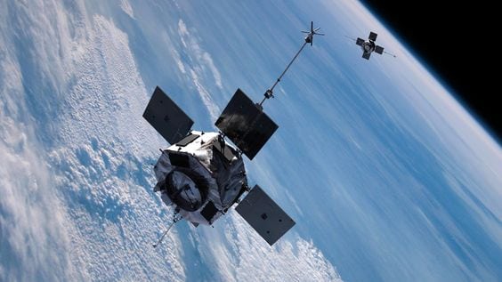
Remote sensing is the technology that consists of acquiring information from the earth’s surface without coming into physical contact with it, by means of sensors located on different aerial or space platforms.
At IHCantabria we develop projects and tools based on the use of satellite and aerial information in continental, litoral and coastal systems in order to map patterns and processes and understand their cause-effect relationships.
Areas of expertise
Monitoring of aquatic ecosystems and trend analysis
Multi-temporal estimation of the size of the flood zone and hydrological variability of aquatic ecosystems (flood pulses and morphodynamics).
Monitoring the surface temperature of water and changes in water color associated with the optical quality of water.
Spectral analysis of large bodies of water to study the evolution and evaluate the impact of climate change.
Modeling of vegetation and soil properties
Application of spatial modeling techniques based on environmental limiting factors (topography, climate, lithology) and remote sensing (satellite images, LiDAR, SAR, UAV) to predict the distribution, conservation status and future trends of land use and vegetation typologies.
Application of digital soil mapping techniques through the use of statistical and mechanistic models to map soil properties (pH, texture, organic matter, depth).
Management and conservation of ecosystems
Assessment of the vulnerability of forest and agricultural ecosystems, highly biodiverse protected areas, fluvial systems and wetlands, coasts and other water resources to the impacts of global change, including climate change and socio-economic dynamics in rural and urban areas.
Development of spatially explicit modeling of ecosystem patterns, processes and services in order to determine their interrelationships with and effects on the landscape continuum, as well as to explore adaptive management strategies.
Development of spectral libraries
Obtaining hyper-spectral signatures of the surface radiance and reflectance of different media (terrestrial and aquatic), in different states, under controlled conditions.
Calibration and validation of numerical models using remote sensing data. The measurements are made with a hyperspectral spectroradiometer (ASD FieldSpec-4) either in situ or at the IH Spectral Laboratory, a facility specifically designed to obtain hyper-spectral signatures under controlled conditions.
SIGNIFICANT PROYECTS
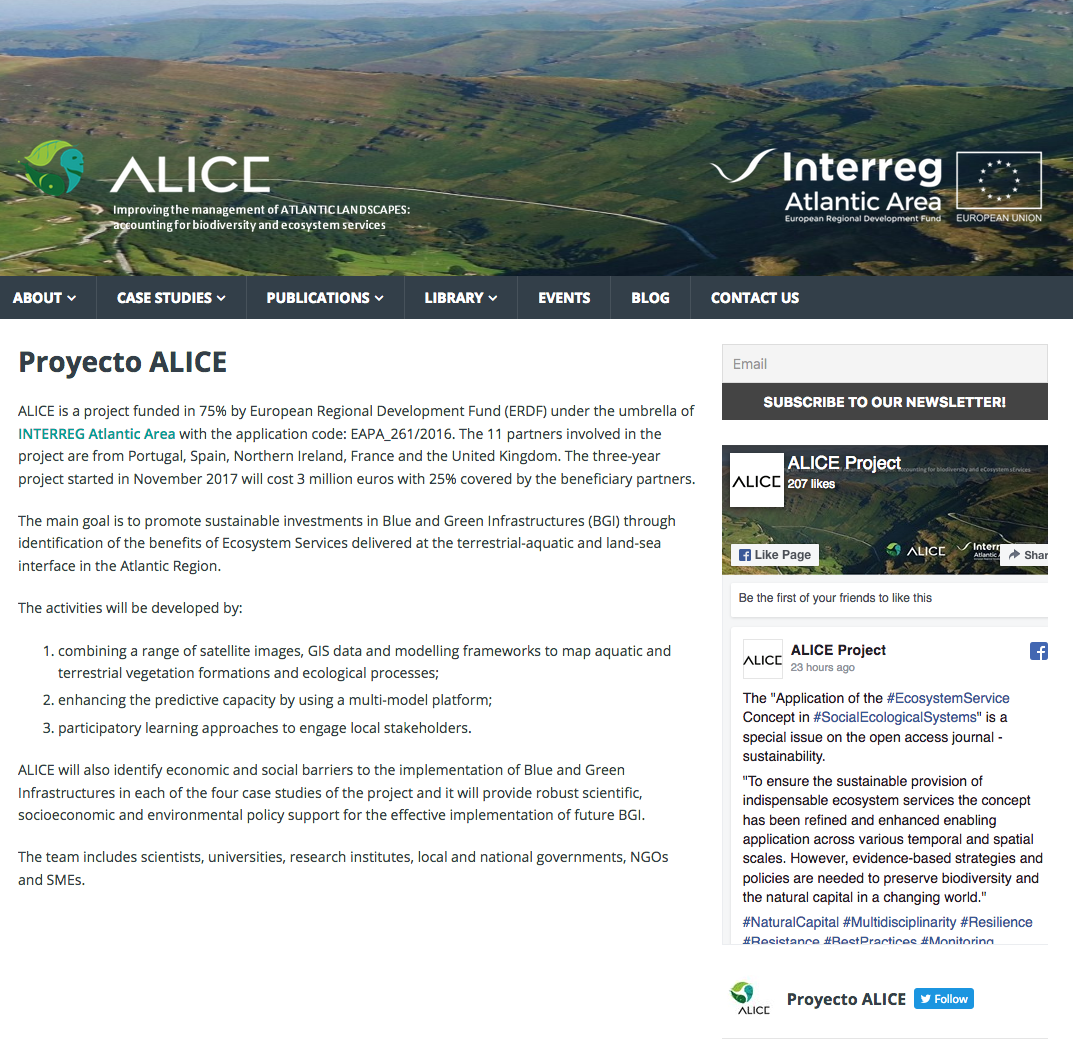
INTERREG ALICE.
Integrated landscape management that incorporates climate change and socio-economic scenarios is essential to guaranteeing the benefits of investments in Blue and Green infrastructure (BGI) and achieving the EU biodiversity objectives for 2020 in the Atlantic Region (AR).
Learn More
BIOGLOB
The BIOGLOB project, which was created to improve on the previous CENTINELA project, is designed to determine the effects that global change (changes in land uses, climatic conditions, etc.) have on the aquatic ecosystems of the Picos de Europa National Park.
Learn More
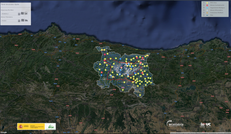
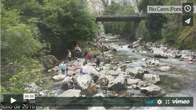
CENTINELA
The CENTINELA project has been implemented to determine the effects that global change (changes in land use, climatic conditions, etc.) have on the fluvial ecosystems of the Picos de Europa National Park.
Learn More
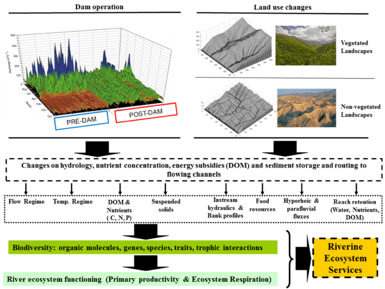
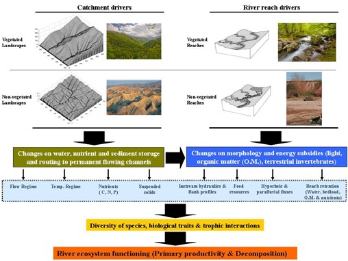
HYDRA
HYDRA will focus on how the operation of rivers and the supply of services are affected by the hydrological alteration (HA) of the operation of dams and changes in land use.These two factors are today the main sources of hydrological alteration worldwide.
Learn More
RIVERLANDS
Integrated Watershed Management (IWM) is a discipline and an emerging process within the field of integrated assessment that attempts to address the demands of managers and decision makers for effective water and natural resource management.
Learn More
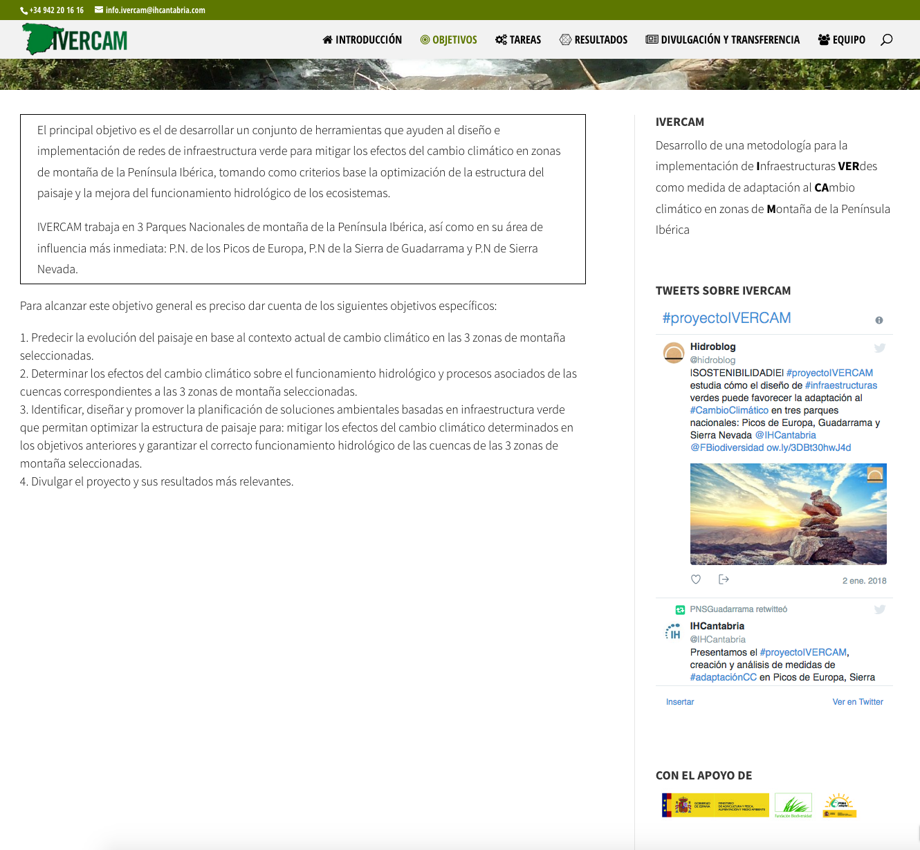
IVERCAM
In recent decades, changes in climate and land cover have led to a loss of biodiversity that is unprecedented in the history of mankind (global change).
Learn More
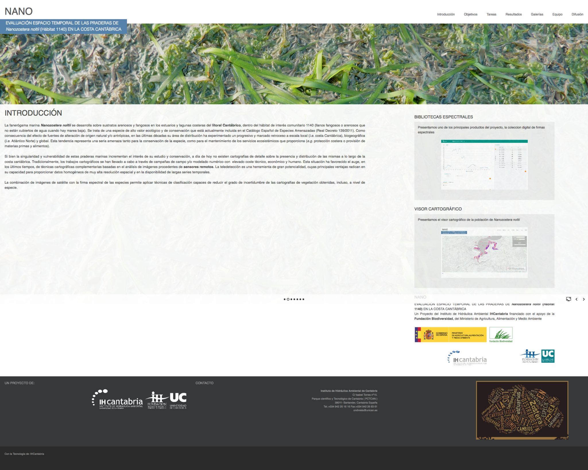
NANO
Spatio-temporal evaluation of Nanozostera noltii seagrass (habitat 1140) in the Cantabrian coast. Remote sensing is a tool with great potential, whose main advantages lie in its ability to provide very high resolution, homogeneous data.
Learn More
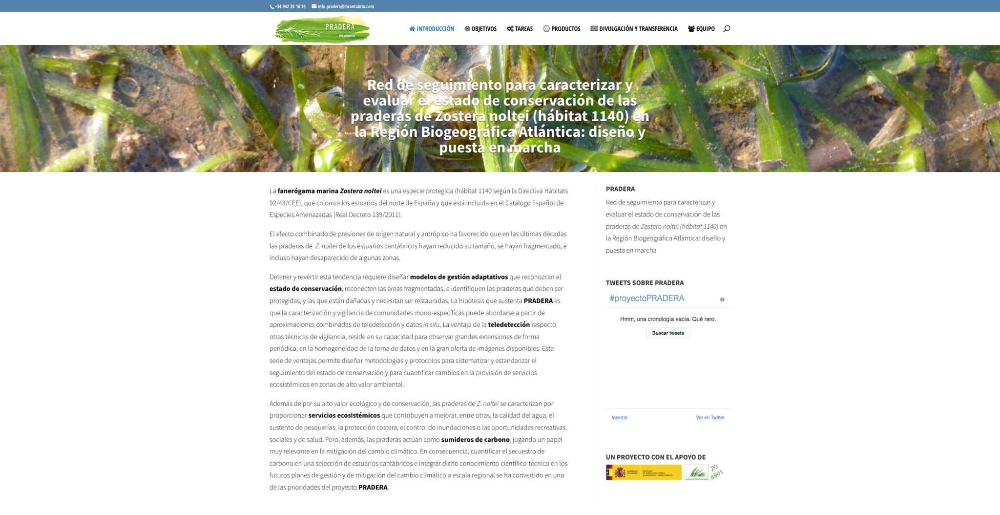
PRADERA
Monitoring network to characterize and evaluate the conservation status and spatio-temporal changes in the carbon deposits of the Zostera noltei grasslands in the Cantabrian coast.
Learn More
SOFTWARE AND TOOLS
FIELD
EQUIPMENT
Remote Operated Submarine Vehicle (ROV)(ROV)
Physical-chemical multisensory with rhodamine sensor
Temperature-oxygen, temperature-pressure and temperature-light probes
SonTek RiverSurveyor – Acoustic Doppler Profiler M9®
SonTek FlowTracker Handheld- Acoustic Doppler Velocimeter® Laser Scanner Focus3D
Electric fishing backpack ELT60II HONDA GXV50
Metabolic incubation chambers
Spectrum-field radiometer ASD FieldSpec 4 and white panel Spectralon
LABORATORY OF HYDROBIOLOGY
Biology (macroinvertebrate, fish, algae, etc)
Microbiology
Ecotoxicity
Spectral responses (IH-Spectral lab)
Let’s talk
Would you like to know how we can help you?
Send me a message. I will get back to you as soon as possible

Ana Silió
Researcher || Remote Sensing Expert
We advise you that your personal data will be processed by FUNDACIÓN INSTITUTO HIDRÁULICA AMBIENTAL DE CANTABRIA, in order to manage your request and maintain professional and commercial relations with you. Your data will not be transferred to third parties. This data treatment is necessary to attend your request. Your data will be kept until you unsubscribe from the service and/or after a reasonable time has passed since we attended to your request. You can exercise your rights of access, rectification, cancellation, opposition, portability and limitation of the processing of your data by contacting the FUNDACIÓN INSTITUTO HIDRÁULICA AMBIENTAL DE CANTABRIA, PCTCAN C/ISABEL TORRES, 15, 39011 SANTANDER (CANTABRIA), or rgpdihcantabria@unican.es with a copy of your ID card duly accrediting your identity. In any situation, you have the right to file a complaint with the Spanish Data Protection Agency (AEPD)