NUMERICAL AND EXPERIMENTAL ANALYSIS OF LITTORAL MORPHODYNAMICS
NUMERICAL AND EXPERIMENTAL ANALYSIS OF LITTORAL MORPHODYNAMICS
Understanding the complex physical processes that occur in the coastal zone and how these affect its morphology is the cornerstone of responsible and sustainable coastal engineering and management.
Thanks to our researchers and studies carried out in different parts of the world during more than 20 years, we have acquired at IHCantabria a deep knowledge of the coastal morphodynamic processes in their different space-time scales.
MetHodologY
We study and analyse the mechanisms that generate, propagate and transform coastal dynamics (waves, currents, wind, tidal waves, tsunamis).
Analyzing and characterizing the morphodynamic processes that take place offshore (continental shelf, sand waves, low tides).
We analyse and characterise coastal processes in the vicinity of the coast (coastal currents, sediment transport by waves or wind, coastal flooding) and their effects on the morphology of the coast (beaches, sand bars, bedforms, dredging trenches).
We evaluate the impacts of coastal processes on coastal infrastructures (silting of navigation channels or water intakes, scouring of the foundations of infrastructures or buildings).
We assess the effects and impacts of climate variability, climate change or coastal infrastructures on these coastal processes and their effects on the morphology of coastal areas (shoreline retreat, beach rotation, coastal flooding).
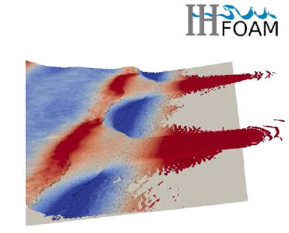
We develop numerical or physical models, methodologies and tools that allow simulating these morphodynamic processes and their natural or anthropic variability, which makes it easier to study coastal problems and evaluate multiple possible courses of action in a simple and effective way, without the need to carry them out.
We develop methodologies in different phases of a beach stability project, where it is determined which studies should be carried out, which models or data should be applied.
AREAS OF EXPERTISE
Study of the offshore maritime climate and how it propagates to the coast (waves, tides)
Statistical characterization.
Analysis of average and extreme.
Storm conditions.
Evaluation of the effects and impacts of activities and coastal structures on coastal morphodynamics
Activities: dredging, filling.
Structures: ports, breakwaters, navigation channels.
Evaluation of the effects and impacts of climate change on coastal areas
Shoreline retreat.
Coastal flooding.
Study of coastal transport capacity
Waves, currents, wind.
Study of erosion and flooding in coastal areas
Technology transfer, and training courses and workshops

Analysis of both the historical and future sedimentary balance and evolution of the coastline
Numerical and experimental modeling of coastal processes
Sediment transport.
Erosion-sedimentation.
Flooding.
Morphodynamic evolution.
Analysis of the stability of estuaries and beaches
Horizontal and vertical equilibrium.
Analysis of the morphodynamics of beaches and estuaries
Evolution on different spatio-temporal scales.
Sand bars, cusps, bedforms, low tides.
Evaluation of the impacts of coastal processes on coastal infrastructures
Silting of navigation channels or dredging trenches.
Scouring of foundations.
Approach to study methodologies in different phases of a beach stability project
Determination of which studies should be carried out.
Determination of which models or data should be applied.
PARTNERSHIPS
IHCantabria has carried out projects as part of competitive tenders in Spain (Beach-Art, SMC2020, MUSCLE-Beach, ANIMO) and Europe (HUMOR).
It has also taken part in cooperative and transfer projects in several countries around the world, including Qatar, Bahamas, Jamaica, Colombia and Brazil (SMC-Brazil).
SIGNIFICANT PROJECTS
SIGNIFICANT PROJECTS
ANIMO
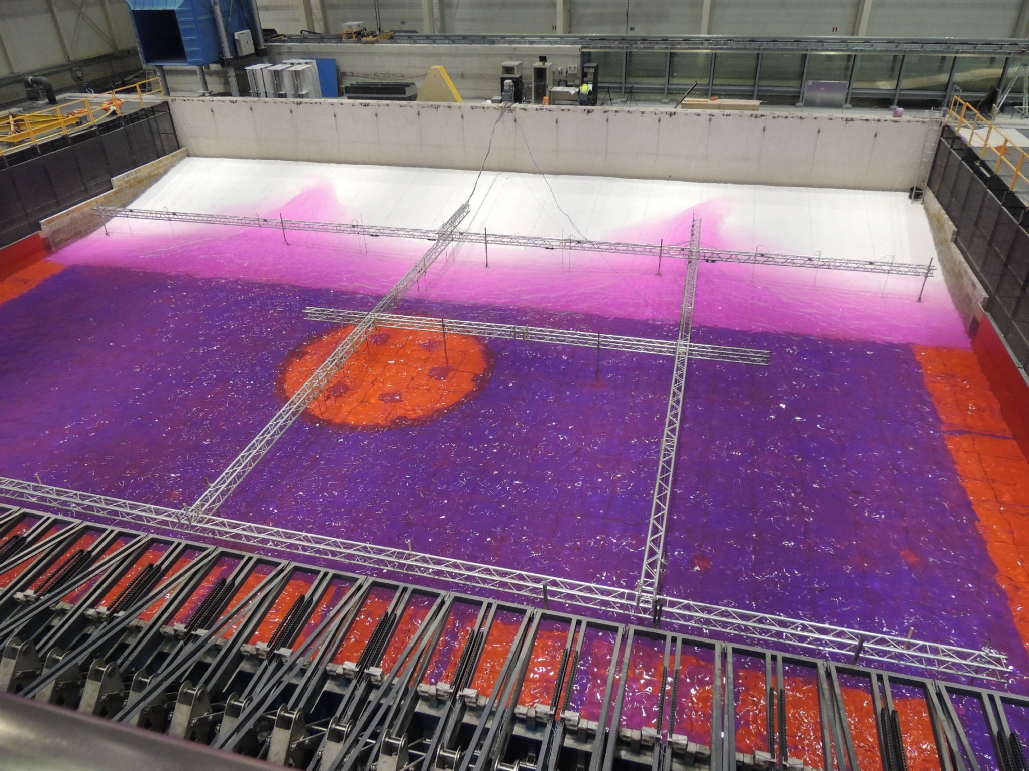
Laboratory and numerical research on the hydro- and morphodynamics of natural and artificial beaches, with special attention to the equilibrium between hydrodynamic and morphodynamic processes responsible for the behavior of beachfront sediment dispersion, the generation of rip currents and the analysis of beach runup by means of physical and numerical modeling.
ANTI-SCOURING DEVICE PROJECT: 2D PHYSICAL MODEL TESTS
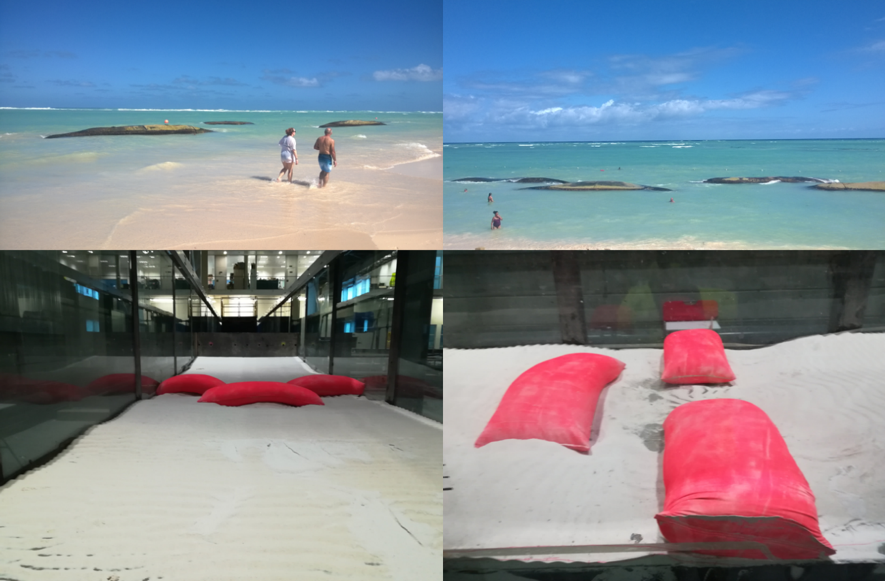
Construction of a 2D scale model at the IHCantabria facilities and performance of tests with movable bottom in order to analyse the stability and efficiency of a coastal protection system based on geobags, the purpose of which is to avoid the undermining of a submerged dike against the action of waves and the movements of the seabed.
BEACH-ART
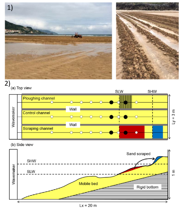
Dynamics of the beach profile and assisted recovery techniques: numerical and experimental research in the laboratory and in the field. The aim of the Beach-ART project is to improve the efficiency and effectiveness of assisted beach recovery techniques by developing a methodology and a series of tools to optimise beach design.
PORT OF ZARZIS
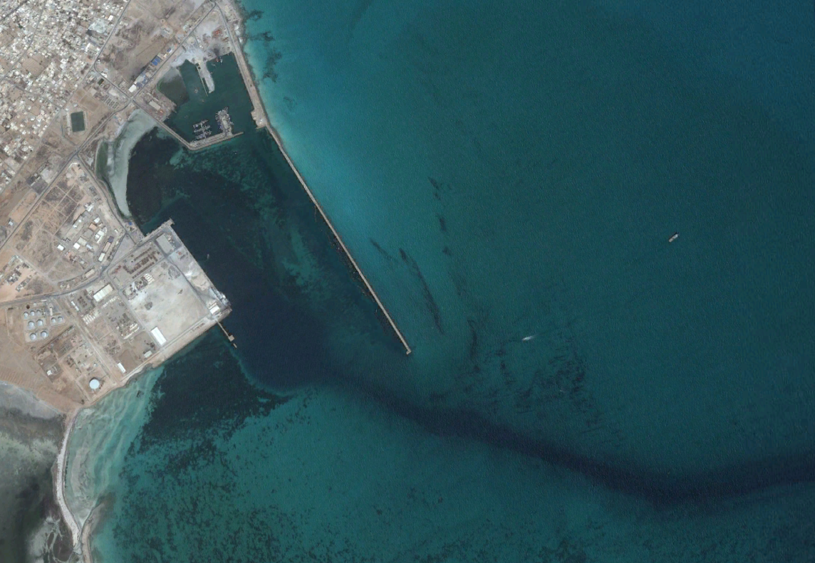
Study to protect the commercial port of Zarzis (Tunisia) against silting and agitation phenomena. Phases 2 and 3: Preparation of the hydro-sedimentary model and simulation of alternatives.
SOFTWARE & TOOLS
COASTAL MODELING SYSTEM (SMC)
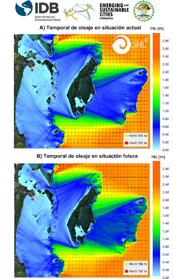
SMC is a set of databases, methodologies and numerical models that allow studying, on different spatio-temporal scales, coastal processes and the effects on the coast (erosion, flooding) due to natural events or human actions (climate change, construction of harbors, dredging, etc.) in order to propose sustainable solutions.
Given its scientific rigor and wide range of applications, SMC has been exported to more than 60 countries and has been implemented in Tunisia, Colombia, Taiwan and Brazil, with their corresponding databases. Its adaptability to other countries has allowed it to be used, for example, in several projects for the Inter-American Development Bank (IDB) as part of the emerging and sustainable cities initiative to evaluate coastal dynamics and the proposed areas of action.
CHRONOS
IHCantabria is currently developing a numerical model of the long-term morphodynamic evolution of the coastline, the CHRONOS model. It is a one-line model that aims to calculate the long-term erosion of the study area by considering its bathymetric surveys, the local dynamics and its interaction with the coastline. This model allows calculating the marine dynamics at the break point by means of various wave propagation models. The longitudinal sediment transport calculation takes into account the altitude gradient of the breaking wave and simulates the change in the position of the coastline by taking into account the presence of coastal structures. These aspects result in a more precise prediction of the evolution of the coastline without an undue increase in the computational cost.
MORPHODYNAMIC EVOLUTION MODEL FOR PITS (MEMPITS)
MEMPITS is a 2DV semi-analytical numerical model that can be used to analyze the morphodynamic evolution of marine trenches. It is based on the formulations in Ribberink et al. (2005), which consider the bedload and suspended transport of sediments, the local conditions of marine dynamics and the geometry of the trench. This model is applicable when three-dimensional or horizontal processes are not significant.
Its main advantage over 3D or 2DH models is its easy application and efficiency since, with minimal parameter calibration and a low computational cost, it is able to accurately predict the sediment migration and accumulation rates in the trench and the volume of sand captured. The main disadvantage is the loss of detail in the shape of the cross section of the trench. This model has been validated with laboratory and field data (Sand Transport and Morphology of Offshore Sand SANDPIT 2005 and González et al. 2010).
LET´S TALK
Would you like to know how we can help you?
Send me a message. I will get back to you as soon as possible
LET´S TALK
Would you like to know how we can help you?
Send me a message. I will get back to you as soon as possible

ERICA PELLÓN DE PABLO
Predoctoral Researcher || Expert in Morphodynamical Analysis
We advise you that your personal data will be processed by FUNDACIÓN INSTITUTO HIDRÁULICA AMBIENTAL DE CANTABRIA, in order to manage your request and maintain professional and commercial relations with you. Your data will not be transferred to third parties. This data treatment is necessary to attend your request. Your data will be kept until you unsubscribe from the service and/or after a reasonable time has passed since we attended to your request. You can exercise your rights of access, rectification, cancellation, opposition, portability and limitation of the processing of your data by contacting the FUNDACIÓN INSTITUTO HIDRÁULICA AMBIENTAL DE CANTABRIA, PCTCAN C/ISABEL TORRES, 15, 39011 SANTANDER (CANTABRIA), or rgpdihcantabria@unican.es with a copy of your ID card duly accrediting your identity. In any situation, you have the right to file a complaint with the Spanish Data Protection Agency (AEPD)
