

NOTICIAS
IHCantabria research staff develop a remote sensing model to reduce the vulnerability of aquatic ecosystems to erosion.
IHCantabria’s Research Staff has a place in the special issue “New Insights into Ecosystem Monitoring Using Geospatial Techniques” of the journal Remote Sensing with the article entitled “From Forest Dynamics to Wetland Siltation in Mountainous Landscapes: A RS-Based Framework for Enhancing Erosion Control”.
The existing natural balance provided by ecosystems has been modified as a consequence of various anthropogenic activities. In a context of global change, services as important as water quality or erosion control have been affected, among other aspects, by changes in land use and land cover, the most significant being related to the disappearance or fragmentation of forest masses, the loss of soil through erosion and the contamination of rivers and underground aquifers.
Water is one of the most valuable and limited resources for biodiversity, so a comprehensive knowledge of the functioning of water-related ecosystems is essential to develop an integrated management scheme to ensure their rational and sustainable use. It should also be noted that forests play an important role in the functions of aquatic ecosystems, maintaining soil structure and reducing the contribution of erosion, which represents one of the greatest threats to their conservation, especially in wetlands. In addition, forest stands help to reduce erosion processes in the headwaters of river basins.
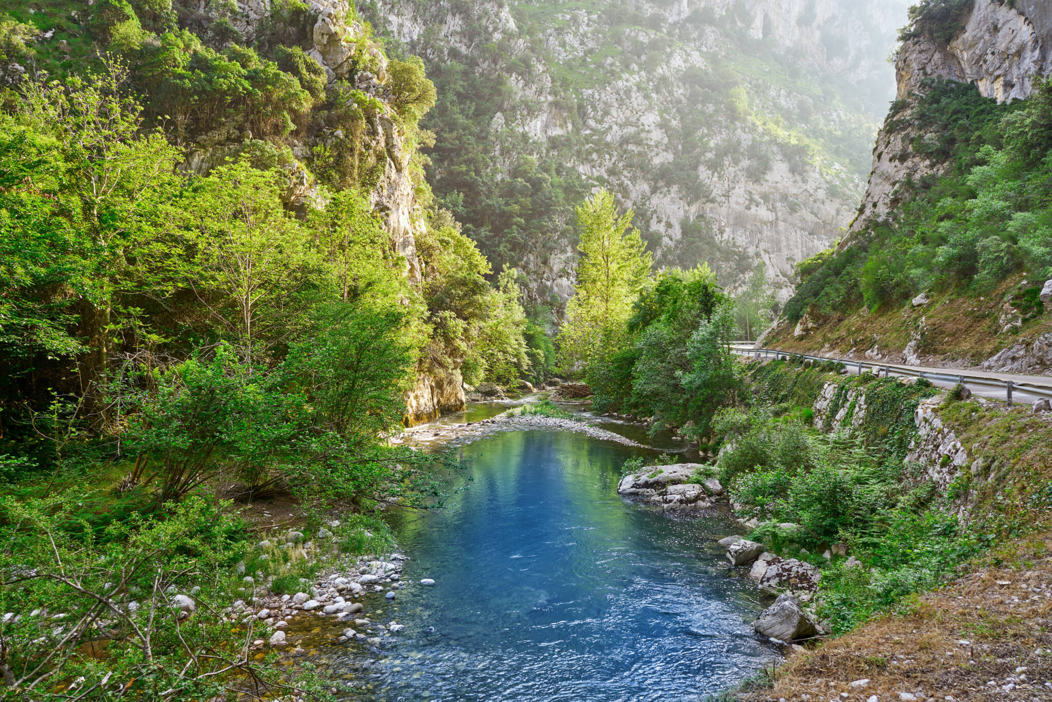
The work area is located in the catchment areas of the Sella, Cares and Deva rivers to map the forest dynamics and the distribution of wetlands in the Picos de Europa National Park (specifically on the northern slope of the Cantabrian Mountains).
This work develops a remote sensing modelling approach to identify optimal areas for implementing nature-based solutions (SBN), specifically conservation and restoration of natural forests on slopes and riverbanks, to reduce the vulnerability of aquatic ecosystems in mountainous regions to the effects of erosion and pollution from surface runoff.
To this end, a series of specific analyses have been carried out. Firstly, the mapping of land use and land cover dynamics over the last 40 years, followed by a modelling of forest expansion in a future scenario for the year 2050. On the other hand, the current distribution of wetlands was mapped, supported by extensive fieldwork and photo-interpretation. Finally, landscape and topographic processes related to sediment production, transport and deposition in the receiving aquatic systems are modelled.
With all this information and through a multi-criteria analysis, potential areas are identified for the implementation of SBNs related to the conservation and restoration of natural forests in the study area, which can reduce the risk of soil erosion and maximise sediment filtration, respectively.
The results show a network pattern of SBNs for forest management that would control erosion effects in space and time at three levels:
By reducing the erosive load originating uphill in headwaters of watersheds due to the absence of forest cover.
By reducing sediment runoff into watercourses.
In the absence of the above barriers, by trapping erosion near the receiving systems, i.e. wetlands, understood as the main axes of rivers and their tributaries.
In conclusion, this proposed methodology can be transferred to other mountainous regions, allowing the optimisation of actions for erosion prevention and wetland conservation by defining only very specific areas of the landscape for habitat management, which through a stratified approach would not only address the slowing down of erosion processes in the short and long term, but would do so in a more efficient way.
The project within which this study is framed is ‘LIFE DIVAQUA: improving aquatic diversity in Picos de Europa’, https://lifedivaqua.com/, whose main objective is the restoration of aquatic ecosystems of the Natura 2000 Network in the Picos de Europa National Park and its surroundings to improve the conservation status of aquatic habitats and species of Community interest.
The LIFE DIVAQUA project has the financial contribution of the LIFE Programme of the European Union. It is coordinated by the University of Cantabria through the Institute of Environmental Hydraulics. Its beneficiary partners are the Consejo Superior de Investigaciones Científicas (CSIC), the Centro Tecnológico Agrario y Agroalimentario Itagra.CT, Repsol, Fundación Instituto de Hidráulica Ambiental Cantabria, the NGO Red Cambera and the regional governments of the Principality of Asturias and the Junta de Castilla y León. It is co-financed by the Regional Ministry of Rural Development, Livestock, Fisheries, Food and Environment of the Government of Cantabria and the company Navarro Generación.
Abstract of the paper: https://www.mdpi.com/2072-4292/14/8/1864
Open download of the PDF version: https://www.mdpi.com/2072-4292/14/8/1864/pdf