

MSP – Blue time machine from ihcantabria won the second prize on EUDatathon 2019
Back to News
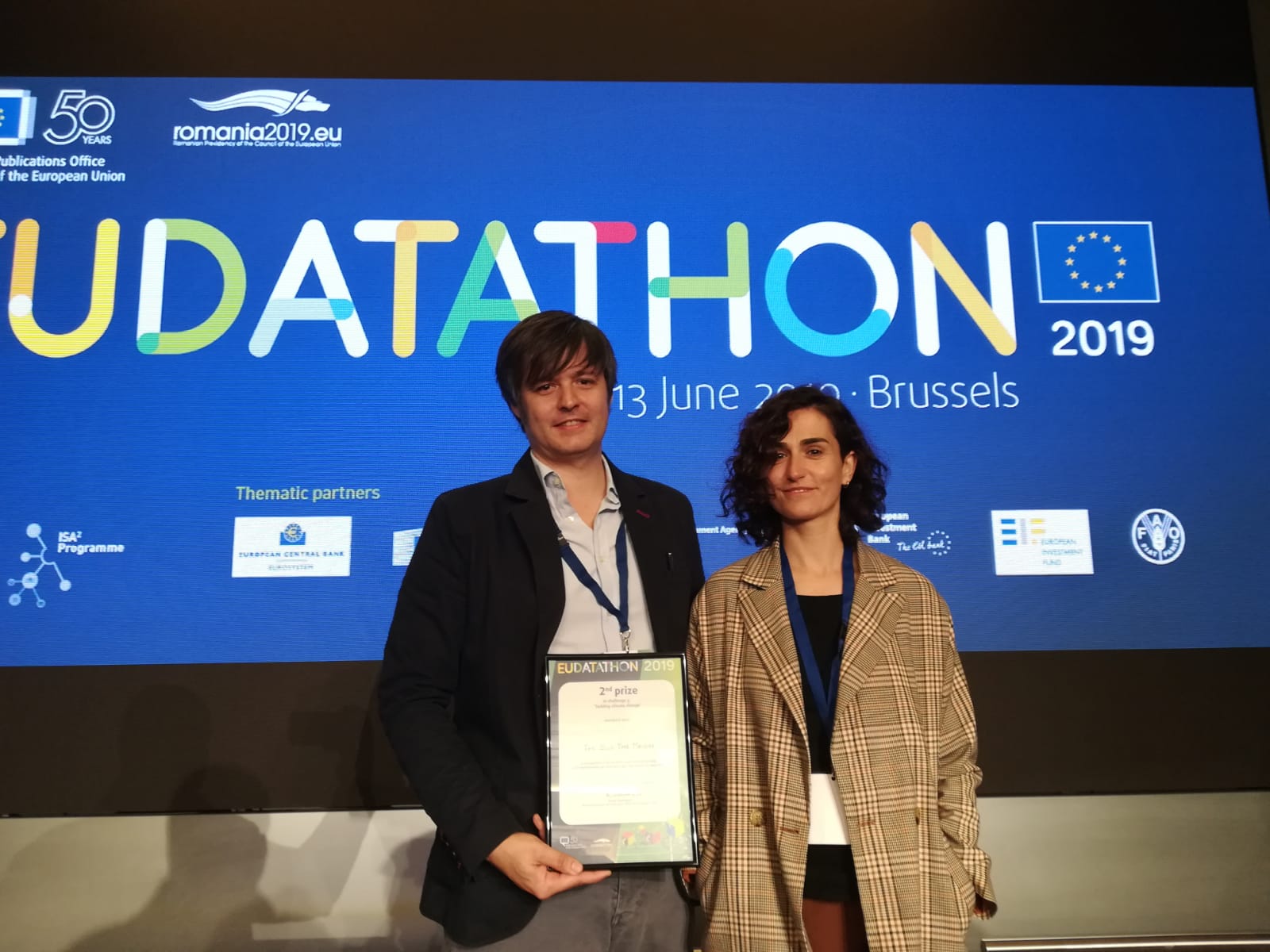
Our project “The Blue Time Machine” was awarded second place in EU Datathon 2019, in the category “Tackling Climate Change”, which rewards the development of applications that offer new services using data provided by European Union institutions. The Blue Time Machine is a digital representation of past, present and future marine conditions, focused on improving the planning of long-term activities at sea, such as aquaculture or marine energy; and wants to be a tool to help in marine spatial planning.
What is Marine spatial planning (MSP)?
Marine Spatial Planning (MSP) offer countries an operational framework to maintain the value of their marine biodiversity while at the same time allowing sustainable use of the economic potential of their oceans.
But there is still a gap between data providers (e.g. Copernicus Services, EMODnet, NOAA,…) and professionals responsible for the planning and management of marine areas and their resources. MSP is a fundamental tool for balancing sector interests and achieving Blue Growth, elucidating trade-offs of individual and combined uses of marine resources.
Therefore, a systematic approach towards spatial planning that identifies opportunities for the co-location of activities is essential to minimize conflicts, optimize the use of space, and reduce operation costs. In this sense, and due to the lack of approaches that address the co-location of wave energy, wind energy and aquaculture activities in a site selection scope, a methodological approach has been developed and implemented for the integrated assessment of co-location opportunities for wave, wind and aquaculture facilities in a Global scale under the CMEMS demonstration “RENAQUA Project” (http://renaqua.ihcantabria.com/).
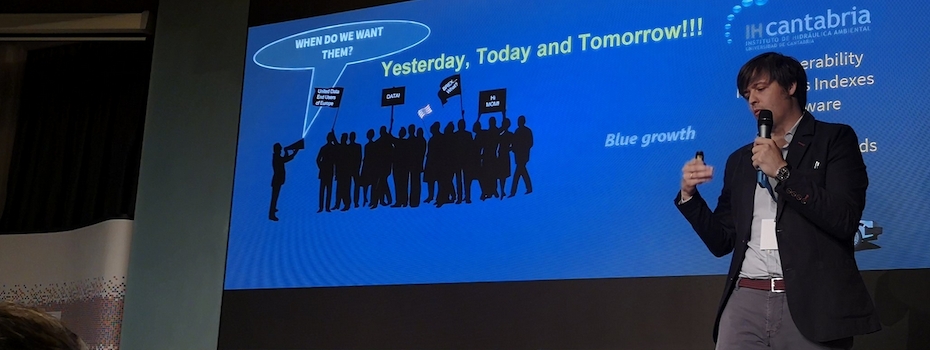
What does our “Blue Time Machine” do?
In the framework of our Marine Spatial Planning Platform there is what we call ‘The Blue Time Machine’, a digital representation of the past, present and future conditions from our “Blue Planet”. It provides “Past” (data generated using numerical models and open data with the last 60 years of relevant data), “Present” (real time data from Metocean Buoys and Coast Radars), and “Future” (with two scales, short-term data and climate changes projections). Additionally, there is a “Blue Growth” section with a set of processed data and calculated indexes for each economic sector, and specific tools that gives flexibility to the user on the representations of the results.
For more info HERE
Visit our MSP Framework HERE